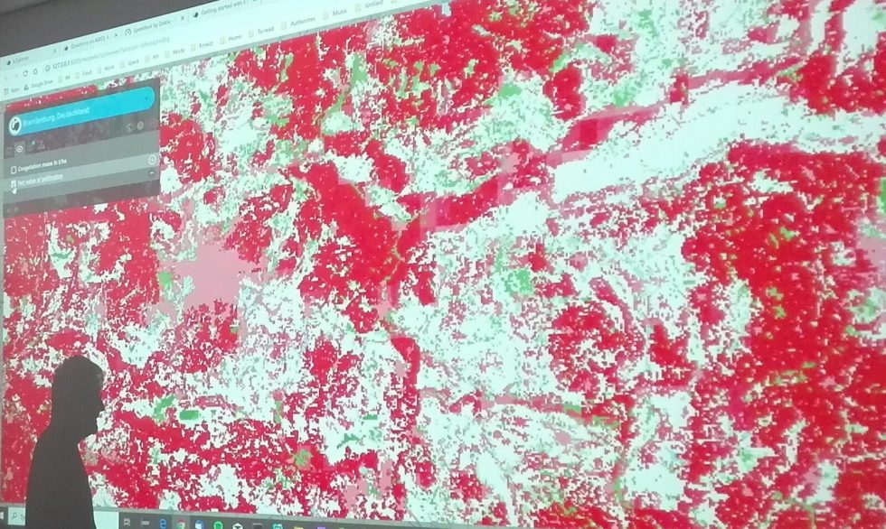
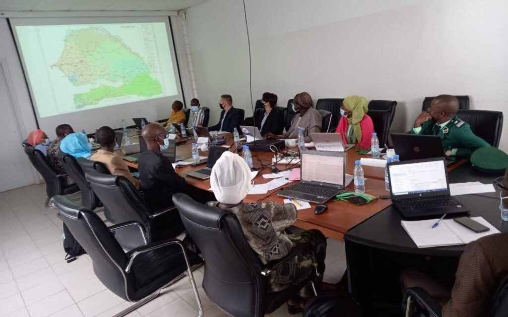
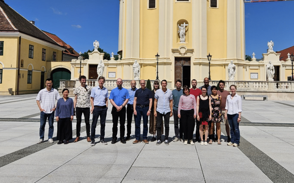
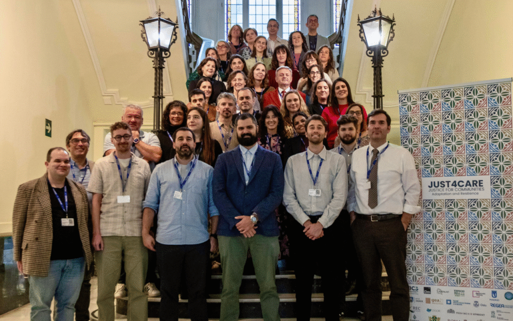
The team has presented the ARIES (Artificial Intelligence for Ecosystem Services) modelling framework at the 10th World Conference of the Ecosystem Services Partnership (ESP) in a pre-conference training. The participants to the training had the chance to try a preview release of k.Explorer, an internet browser-based user interface, which provides an easy way to access the ARIES network of models and data. This release is now being made available to the general public as an unsupported early preview.
Here is a short video demonstrating the user interface as of July, 2019. Compared to the video, many improvements have already been made and are available in the preview release.
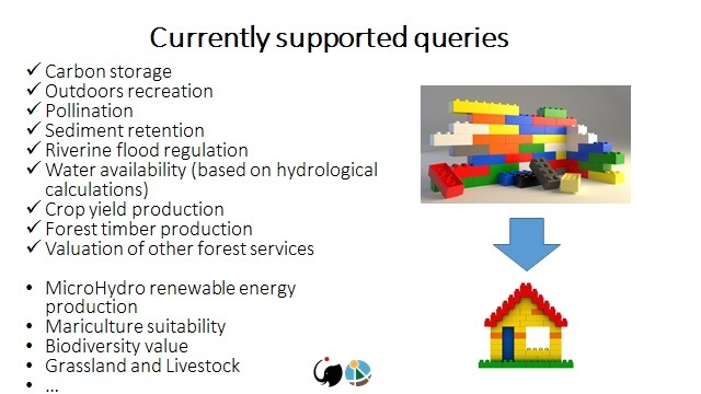
The currently available contents of the ARIES network include:
- More than 100 spatial data layers (at scales from regional to global) from their authoritative sources.
- A suite of model components to address to ecosystem services related queries in 10 areas of study (recreation, pollination, flood regulation, sediment regulation, carbon storage, etc.), and their combination with spatial multi-criteria assessment for trade-off and spatial planning analysis.
- A full set of GIS algorithms to use within modeling workflows to implement complex spatial models.
- The entire feature data from OpenStreetMap (through a specialized mirror that is updated constantly) so that they can be used in our computations.
Much is still missing from this preview release, like the ability to create or select scenarios and the ability to use local data with the models. These features and many others will become available in 2020 with the first stable release.
