Healthy ecosystems support clean water provisioning, food production, protection from hazards, pollination and many other fundamental processes. However, demonstrating the connection between the health and extent of ecosystems to benefits provided to people can be challenging.
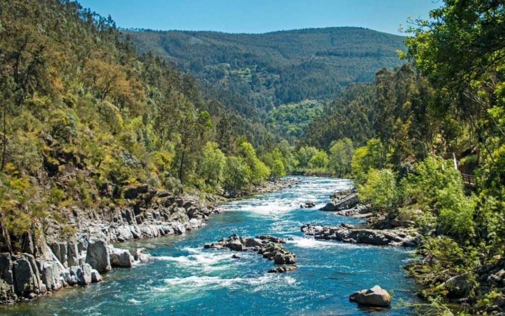
The benefits of healthy ecosystems aren’t just experienced within the ecosystem itself. If we want to understand the importance of upstream forests in regulating water supply downstream we need to analyse their capacity to regulate water supply and show that downstream communities use this benefit. Similarly, natural ecosystems such as forests and shrublands can provide habitat for pollinators. These pollinators can then support nearby agricultural production, while the products and economic benefits associated with that service reach people much further away.
Models of the ecosystem services can help us understand where services are generated, how they move through a landscape and who benefits from them by combining information about ecosystems, landscapes and human activities.
Where are ecosystem services generated?
There is an important distinction between the capacity of an ecosystem to provide a service and the service itself. Nature may have the capacity to provide a benefit, but we only really talk about an ecosystem service when that benefit is connected to people who use or benefit from it.
Spatial models can identify areas with a high capacity to provide particular ecosystem services. This information can support decision-making such as where we should conserve or restore nature to improve the health and wellbeing of our communities. This is particularly important in the face of climate change, where healthy ecosystems can help us mitigate and adapt. Similarly, these models can help us assess how changes in land management practices could affect the services provided by a landscape. Finally, by modelling multiple ecosystem services, we can reveal the patterns of ecosystem services and the multifunctionality of our landscapes. Some areas of a landscape may be critical for water regulation, while others may support recreation and pollination simultaneously.
Why one map is rarely enough
If a farmer uses fertiliser to increase production, it can harm pollinators, which can in turn influence agricultural production. Furthermore, climate change may alter conditions for crops and pollinators, while also changing the management decisions farmers make.
These interactions can create complex feedback loops, with some effects reinforcing one another and others working in opposite directions. This is why integrated ecosystem service modelling does not just produce a map of where services are “high” or “low”, it helps explore more complex relationships between ecological processes, human activities and the benefits they receive.
Beyond the numbers
Not every relationship between people and nature can easily be reduced to a number, and this creates an important challenge for ecosystem service science: how can quantitative modelling be combined with other forms of knowledge?
Approaches that incorporate surveys, interviews and local knowledge can help provide a more complete picture, and can also reveal information that may not be visible from spatial or satellite data alone. For example, a model may show changes in vegetation and suggest that a particular ecosystem service is increasing. Conversations with people who use that landscape may reveal a very different perspective: the vegetation change could also be making land less accessible for livestock or creating new management problems.
A model is not the same as reality
This is an important limitation to keep in mind: a model is a representation of a system, not the system itself. Model outputs should not automatically be interpreted as exact measurements. A result showing a particular value for a specific location does not necessarily mean that the value is precisely true on the ground, but has a degree of uncertainty attached.
Models are useful for understanding the broader patterns: where a service appears to be relatively important, where it is changing, what factors are driving those changes and how different parts of the system are connected. Validation, sensitivity analysis, comparison with other approaches and engagement with people who know the landscape can all help us understand how robust those results are and provide a common starting point for conversations between researchers, communities, land managers and decision-makers.
As we continue to generate more knowledge and validate model results on ground, model accuracy will improve. Ensuring the scientific, practitioner and policy-making communities are connected is critical to advancing integrated modelling approaches.